Projects
Survey, Mapping and Geomatics
First Nation Land Management
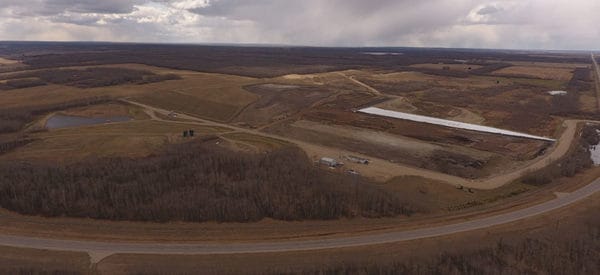
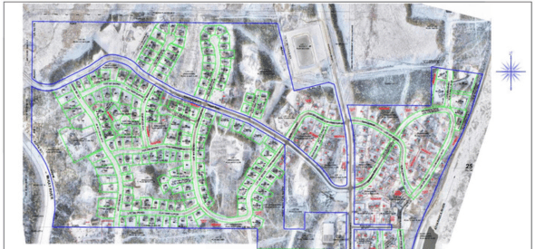
Project Summary Legal survey for Fort McKay First Nation of existing Internal Community roads to finalize the internal survey fabric within their Reserve lands. One of many stages supporting the Band’s development of a Land Code for their Community under the Framework Agreement on First Nation Land Management (FNLM). Services Delivered UAV survey and custom […]

Carmacks Bypass
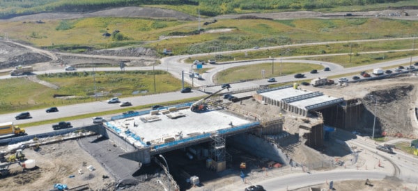
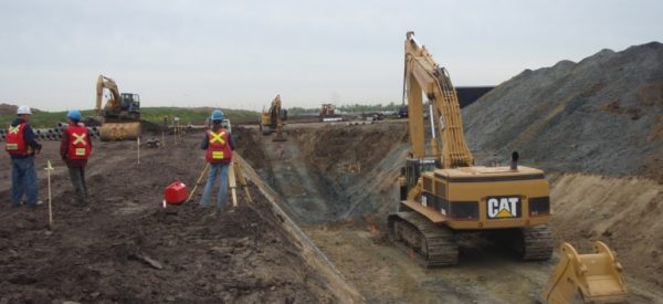
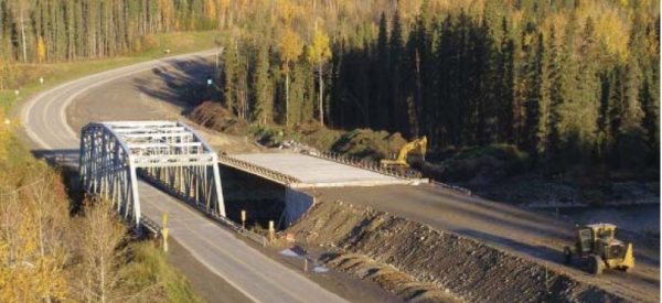
Project Summary Construction of a 2 lane 5km Bypass Road from the North Klondike Highway to the Mount Nansen Road near Camacks. Included in this work was the construction of a bridge over the Nordensgold River. Services Delivered Construction Layout, As-built Surveys, Progress Quantities CAD Drawings to support Unit Rate Claim Amounts

Refinery Concrete Repairs
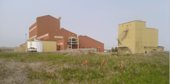
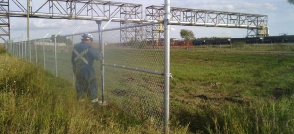
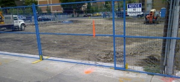
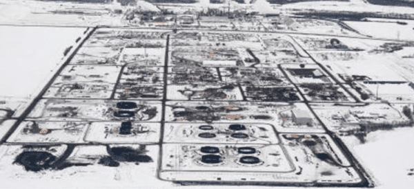
Project Summary Imperial Oil was performing concrete repairs at Terminal 88 within the Edmonton Refinery. Due normal wear, portions of the concrete pad at this location were starting to show signs of deterioration. Imperial Oil planned to cut out and repair sections of concrete that were in poor condition. Prior to cutting out concrete, underground […]
Lapie River Bridge Support
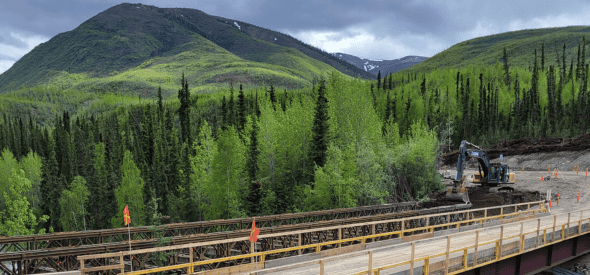
Project Summary Construction of a new bridge and road realignment over the Lapie River on the South Canol Road. Challenger was responsible for Construction Layout of a new bridge over the Lapie River, highway realignment and volumetrics. Services Delivered Construction layout of a new bridge Highway realignment Volumetrics
City of Calgary Digital Aerial Surveys
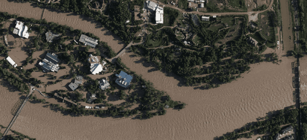
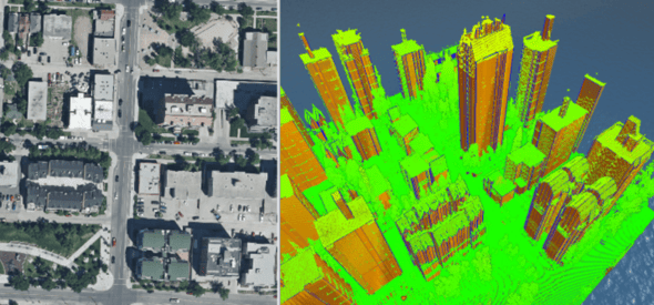
Project Summary Challenger has been the Digital Aerial Surveys (DAS) contractor for the City of Calgary since 2005. DAS project includes the City of Calgary yearly based air photo acquisition (6.5cm ~7.5cm GSD) , ortho mosaicking and digital mapping updates for the whole City (section based; 453 sections total). Services Delivered Extra-Large Format Digital Camera […]

Solid Waste Management Feasibility Study
Project Summary A Solid Waste Management Feasibility Study was completed for 13 communities across Nunavut. Sub-Arctic Geomatics was tasked with creating 3D models of the landfills, calculating volumes, and gathering other topographic information for the future design phase. Services Delivered Drone/ UAV centimeter resolution models, allowing in depth research miles away from site. 3D images […]

Water Treatment and Reservoir Surveys
Project Summary Sub-Arctic Geomatics created 3D models of various Nunavut hamlet water reservoirs and survey water treatment parcels of land. This allowed an accurate calculation of water volumes – critical to the hamlet. As well as vital information for future design phases and upgrades to water treatment plants. Services Delivered A single beam sonar was […]

Canadian Arctic Legal Surveys
Project Summary Sub-Arctic Geomatics completed numerous legal surveys throughout Nunavut, Canada. Below are photos depicting the subdivision our team did of Lot 795 separating it into four lots. This was done to allocate specific lots to the existing legal non-conforming improvements (Lots 2 and 3) and create vacant lots suitable for potential future development in […]

Great Slave Lake – Bathymetric and Topographic Survey
Project Summary Det’on Cho Challenger Geomatics was asked by Department of Fisheries and Oceans Canada to complete a bathymetric and topographic survey of their compound on Great Slave Lake in Yellowknife. Services Delivered A single beam sonar was used to complete a 2m grid of the area surrounding the wharf. A plan showing all fences, […]

Lac La Biche – Downtown Site Survey
To support planning and engineering design, Challenger provided a topographic site survey of the downtown of Lac La Biche.
Canopy Cover Analysis
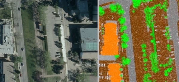
This project involves the use of existing City of Edmonton remote sensing and landscape feature datasets to analyze the canopy cover of Edmonton’s urban forest.

Old Crow Solar Array
Challenger provided survey support for the development of a new solar array in Old Crow, Yukon. The project is anticipated to displace 190,000 litres of diesel fuel every year.


