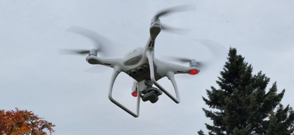
Unmanned Aerial Vehicles (UAV) Survey
Our fleet of rotary and fixed-wing UAV technology is backed by our experienced team, delivering quick and inexpensive aerial photography, LiDAR, and other data. Drones can also be deployed to assist with inspections and are ideal for use in remote or difficult terrain. Drones are equipped with innovative sensors and cameras.
UAV Services:
- New Aerial Photography Acquisition up to 1.0cm pixel resolution
- Absolute Accuracy with RTK/PPK and/or GCPs can reach up to 10cm horizontally and vertically
- Ortho Mosaic products to meet survey-grade specifications
- Point Clouds generated from aerial photos / LiDAR
- Legal and Construction Surveys, Topographic Surveys, Surfaces and Contours, Asset Inspection, Site Monitoring, etc.
Pilots are Transport Canada certified and deliverables are certified by a Professional Land Surveyor. The validation report is included and is based on survey-grade GPS measurements to confirm the accuracy of the data collected by our UAVs.
A UAV survey can complement other survey data, and results can even be integrated with GIS systems. This technology is rapidly maturing allowing UAVs to be used in new ways by construction, mining, energy, and other industries.

