Southern MD’s of Alberta Aerial Survey Project
Southern Alberta MD Partnership
Project Summary
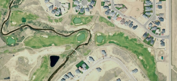
Challenger provided consulting services for Southern Alberta Aerial Survey Project. The project included digital aerial survey and mapping support for 41 hamlets, air photo acquisition, photogrammetry DEM data collection and maps.
Services Delivered
- Consultant for Southern MD aerial survey project, 9 MDs and 4 Irrigation districts.
- Air photo acquisition flight plan for 41 Hamlets. Air photo acquisition at 1:5,000
- Ground Control planning
- Aerial Triangulation and Bundle Adjustment
- Photogrammetry detailed DEM data collection
- Ortho Rectification and Mosaicing at 20cm pixel size resolution
- Mapping based on aerial photos to an accuracy of 20cm