Government
Specialized Surveying Services for Municipalities, Provinces and Territories, and First Nations
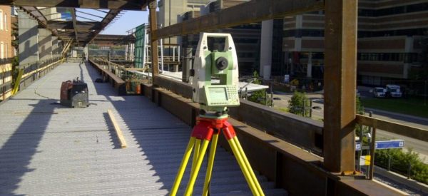
As both Alberta Land Surveyors and Canada Lands Surveyors, Challenger provides multi-disciplinary land surveying, mapping, and geomatics services to all levels of government.
For municipalities, this can include surveys to support development permits, road plans, and other land survey documentation. It can also include services like utility locating or surveys for construction projects. We also provide support to local planning departments with photogrammetry services & digital mapping solutions. This includes aerial photo or LiDAR acquisition and processing to support modeling as well as orthophoto and orthomosaic products. Our GIS management tool is fully customizable and can be used for a number of applications including land use and land ownership maps, development plans, and storing legal addresses & other types of spatial information.
-

- Geographic Information Systems (GIS)

-

- Flood Mapping

-

- Aerial Mapping/Photogrammetry

-

- Road Plans

-

- LiDAR

-

- Lot Boundaries

For provincial and federal governments, we have provided various types of boundary surveys, mapping, monument identification, and other services.
We have worked extensively with First Nations clients and also completed survey work in support of various land claim agreements.