CN Edson Subdivision
Hatch
Project Summary
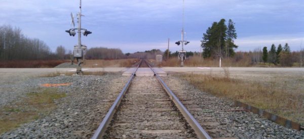
Engineering survey from Mile 80 to Mile 100 (32km in length) along the CN Edson Subdivision to allow for the development of an additional track along the south side of the existing mainline.
Services Delivered
- Locate and survey all visible utilities
- Surveys to tie in to the edges of all permanent water bodies
- Cross section at all culverts under roadways or railways including inverts and all roads within Right-of-Way limits
- Topographic survey of all rail features
- Establishment of primary and secondary survey control
- Survey cross sections of embankments from the toe of ballast including the edge of tie and rail
- Base plan showing all topographic features tied in, including surface file, and the plan showing the location of adjusted control lines