Utilities and Renewable Energy
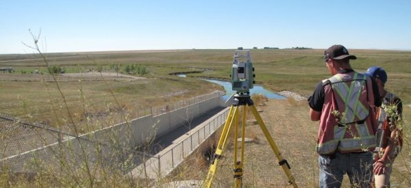
Challenger is experienced in supporting conventional and renewable power generation, transmission, and distribution projects. Our team delivers specialized, high-accuracy surveys that are required by all energy developments.
In addition to topographic surveys, we offer aerial mapping and other support for early project activities. These include feasibility assessments, planning & design, permitting, and also mapping of corridors for access roads or power lines. As your project progresses into construction, the survey scope changes and we work with general contractors and subs in a variety of capacities. Our priority throughout design and construction is always to provide high-quality deliverables and an exceptional level of service to our clients.
We also offer a range of integrity-related services to assist with ongoing maintenance and operations.
- Wind Farms
- Substations
- Hydro Dams
- Geothermal
- Solar Farms
- Challenger Geomatics Ltd offers utilities and renewable energy surveying to customers in Alberta, Yukon, Northwest Territories and Nunavut.
How We Support Your Project
Preliminary Mapping
Using remote satellite or airborne methods or ground-based surveys, we produce a range of deliverables to support route planning and engineering design.
Subdivisions and Legal Surveys
Our team includes licensed survey professionals. These professionals will define the existing rights your project needs to respect and the new legal rights associated with your project. These rights can be in the form of leases, titles, licenses of occupation, right of ways, or easements.
Construction Surveys
We provide grading and volumetric surveys for earthworks, layouts for piling as well as layouts for structures. Precision location data supports efficient installation of solar panels and wind turbines and we also provide as-built surveys for the handoff of any new construction.
Utility Locating
Our experienced crews provide a convenient, safe, and reliable option for locating underground pipelines and utilities to support planning and construction.

Featured Projects
Carmacks Stewart Crossing Transmission Line
Other Notable Projects
Old Crow Solar Farm Topographic Survey
Aklavik Solar Panel Layout and Utility Locates
Twin Valley Dam Deformation Monitoring
Construction Surveys and Staking for Calgary-area substations
Various Topographic Surveys for Yukon substations


