Alberta Mountain Pine Beetle Project
Alberta Agriculture and Forestry
Project Summary
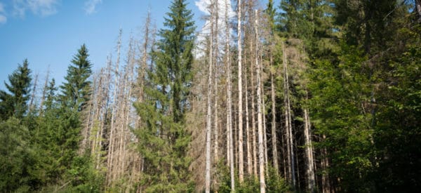
Mountain pine beetles pose a continuous threat to Alberta’s forests, decimating millions of the province’s pine trees. Challenger developed a new methodology for automatic identification of infested trees from airborne multi-spectral images and generated a GIS dataset that could be used by researchers.
Services Delivered
- Fixed wing acquisition of 16 bit RGBI aerial photography at 40cm ground sample distance (GSD).
- Aerial triangulation and ortho rectification of aerial photography based on LiDAR data.
- Automatic feature extraction, segmentation, classification and clustering to identify tree infestation.
- Quality control and generation of polygon shapefiles.