Great Slave Lake – Bathymetric and Topographic Survey
Department of Fisheries and Oceans Canada
Project Summary
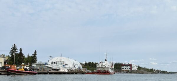
Det’on Cho Challenger Geomatics was asked by Department of Fisheries and Oceans Canada to complete a bathymetric and topographic survey of their compound on Great Slave Lake in Yellowknife.
Services Delivered
- A single beam sonar was used to complete a 2m grid of the area surrounding the wharf.
- A plan showing all fences, buildings, wharf and ramp structures, utilities, etc.