Faro Mine Remediation
Yukon Government
Project Summary
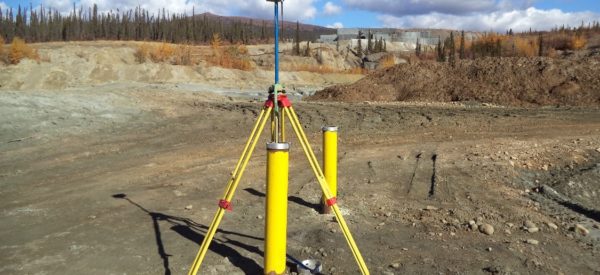
Challenger has provided local geomatics support for the design of the remediation program at Faro Mine in the Yukon as well as the ongoing care and maintenance of this large-scale mine reclamation project.
Our work has supported activities such as establishing primary project control, aerial photo acquisition, infrastructure inventory and reporting, site-specific UAV surveys, local topographic surveys, surveys of creek cross-sections, and survey support for construction.
Starting in December 2017, our survey support for this project has been delivered through a partnership with the Dena Nezziddi Corporation of the Ross River Dena Council, creating local jobs and generating revenue for the First Nation.
Services Delivered
- Establish permanent 3D control points, as primary site reference
- Quality Assurance 3D Survey for LiDAR using GPS
- Pre-target and measure photo control for two scales of photography: for mine site (large scale), and surrounding watershed (small scale)
- Inventory of existing culverts, piezometers and representative historical monitoring wells, including 3D coordinates, detailed report and photos
- GPS support for bathymetric surveys in the main pit.
- Creek cross-sections
- Underground locates
- UAV mapping for the IP Dam
- Local topographic surveys and construction layout