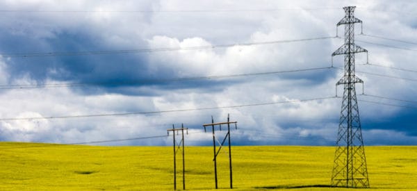
East Palliser Transmission Line
NaturEner Canada
Project Summary
Challenger provided aerial photography and mapping to support route analysis for the East Palliser transmission line from Wild Rose Wind Farms near Medicine Hat to a substation near Empress Alberta, approximately 120km.
Services Delivered
- Task project specific aerial photo acquisition along power line corridor.
- Prepare orthomosaics of corridor.
- Aerial mapping of corridor including mapping of significant topographic features.
- Prepare Digital Elevation Model (DEM) based on aerial photos.
- Prepare comprehensive mapping illustrating industry activity covering an area 9 Sections x 60 Sections.
- Prepare mapping templates to be used in identifying soils and vegetation cover along with wildlife considerations.
- Prepare mapping identifying land ownership along proposed corridor.