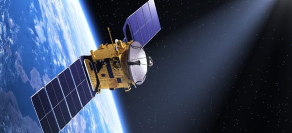
Satellite Imagery
Challenger Geomatics is an authorized Maxar reseller, and through that program and other data sources, we provide a wide range of GIS mapping and geospatial assets as well as providing value-added services involving the latest in high-quality satellite imagery.
Remote Sensing Services:
- Archive Imagery Searching and Processing
- New Satellite Imagery Tasking
- Satellite Imagery Interpretation
- Change Detection from multiple years of imagery sources
- Slope Analysis
- Land Cover Classifications
Our satellite-based products include map-ready imagery that is of the highest level of detail and accuracy. With access to an extensive archive of regularly updated imagery, this can be an economical alternative for some projects to aerial photography collected via fixed or rotary-wing platforms. Custom taskings can also be made for projects requiring imagery showing near-present conditions or with unique requirements.
We can also provide a range of value-added products and analysis to make better use of the geodata collected, including desktop studies, remote asset monitoring solutions, digital elevation models and other premium ortho products.
In addition to satellite imagery in the visible spectrum, Challenger has access to Short-Wave Infra-Red (SWIR) imagery and stereo pairs. Our photogrammetry department is able to leverage these assets and combine with other survey data on a wide range of projects.
The ability to categorize structures, trees, and much more opens up many new GIS applications that were not available even a few years ago. As does the ability for satellites to penetrate cloud cover, map mineral deposits, locate surface moisture, and more. Like our other divisions, our in-house photogrammetry department will work with you to understand your specific project needs and leverage the right technology to accomplish your goals. We offer our own GIS platform and work with clients on other solutions depending on their unique needs.
SecureWatch
Securewatch is a powerful subscription-based service, designed for satellite-based mapping projects, monitoring assets and detecting change over time. The image archive is extensive and goes back 20 years. It also includes multiple imagery layers. As a reseller, we also provide access to this Maxar service.

