Challenger News

The Power of Aerial Photogrammetry Surveys in City and Municipal Planning

In the dynamic landscape of urban development, cities face numerous challenges in ensuring sustainable growth, efficient infrastructure, and environmental stewardship. To navigate these complexities, forward-thinking municipalities are turning to innovative solutions, one of which is the utilization of photogrammetry surveys. Aerial photogrammetry surveys offer a plethora of benefits that can revolutionize city planning and management. […]

Challenger – The Original Foxes of Fox Creek

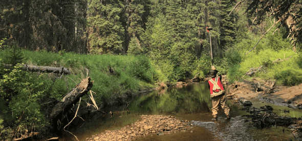
Challenger has provided survey support to the oil and gas sector in the region of Fox Creek, Alberta, since the 1990’s. Some of our field employees have been with us since the very beginning. As the industry moved from vertical drilling to complex horizontal techniques, Challenger evolved alongside it. The area around Fox Creek is […]

New General Manager Edmonton

Today, we are excited to introduce Lara Suriyakumaran as our the newly appointed General Manager of our Edmonton operations. The shift in this new direction creates more room for growth in our emerging leaders and best aligns our current VPs with their passion. This promotion provides well deserved advancement growth to Lara, someone who has […]

Operating Oil and Gas Assets in Alberta?

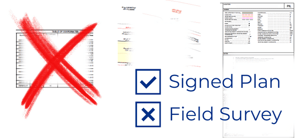
Have questions about the changes in the Public Lands Administration Regulation Table (PLAR) Table?   You can now apply for many dispositions without a field survey. AS you may already know, new PLAR table (A1 and A2) were released by Alberta’s Ministry of Forests and Parks on December 1st. Let’s talk about what this means […]

Surveying Cape Hooper, Baffin Island

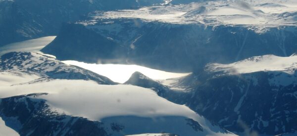
Written By: Paul Burbidge | President and CEO Originally Written December 11, 2015 In 2006 through our partner company Inukshuk Geomatics Ltd. I got to make my first trip to Baffin Island. The purpose of the trip was a legal survey of the Cape Hooper Defense Early Warning (DEW) site. Cape Hooper lies approximately half […]

Announcing Our Newest Indigenous Partnership

We are ecstatic to announce our newest indigenous partnership: Kitikmeot Challenger LP. Founded April 3, 2023, Kitikmeot Challenger LP. is our first majority Inuit-owned company. It is a partnership between Kitikmeot Corporation,  the economic development arm of the Kitikmeot Inuit Association and Challenger Geomatics Ltd. Together we hope to bring prosperity and training for Inuit […]

Understanding the Basics of Land Surveying

To the uninitiated, land surveying may seem extremely technical and complicated. While it has its challenges and technology has changed, the truth is that surveying as a discipline goes back thousands of years, and many of the principles have remained the same to the present day. What has changed is that the technology at our […]

Incorporating Satellite Imagery & Exclusive Geospatial Datasets for Energy Companies

Challenger continues to be a reseller of Maxar’s extensive library of satellite imagery products and solutions. The latest product to become available is Spatial On Demand. Providing quick and easy access to professional-grade geospatial data sets, Spatial On Demand allows you to create a living picture of project sites and helps companies better manage operations. You […]