How 3D Laser Scanning Can Save You Time and Money
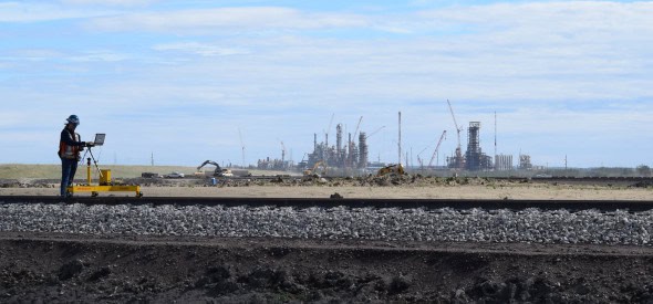
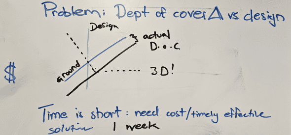
In today’s fast-paced construction, industrial, and engineering environment, the demand for accurate, efficient, and safe surveying methods has never been higher. Deadlines are tight, safety is non-negotiable, and rework is expensive. That’s where 3D laser scanning steps in—not as a trend, but as a proven tool for smarter planning and execution. Whether you’re renovating an […]