Challenger has acquired a New Laser Scanner, Leica RTC 360
Challenger always works closely with our clients to make sure we’re offering the right tools and technology to complete the job efficiently.
The Leica RTC360 complements our other laser scanning tools, the Leica BLK360 and Leica Scanstation P40, and we believe will offer significant time and cost savings on a wide range of projects.
Like our other laser scanners, we will be able to efficiently document and capture a wide range of locations in 3D. The difference with the RTC360 will be the ease of use, scan speed, and highly automated features. Also, includes the ability to automatically register scans in real-time.
- Highly portable to maximize productivity
- Scans take less than two minutes
- Automatically register your scans in the field
- Integrate 3D models with augmented reality solutions
- Directly publish your captured data from the field to the cloud
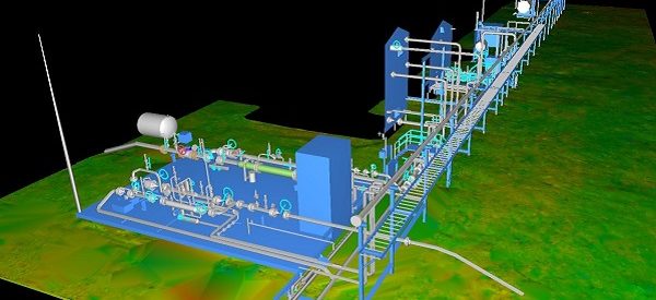
Due to the high precision and level of detail available, Laser Scanning has become the standard for many types of surveys. Spatial data and high-resolution imagery can be captured safely and often more efficiently than other methods. Reducing the amount of survey field time. Challenger has been using this technology for more than 10 years, producing different types of deliverables depending on the needs of our clients. Deliverables can include point clouds, 3D models, Mesh & Surface geometries, as well as CAD and Revit files.
If you’d like to learn more about what is possible with laser scanning, and how it might benefit your workflows, sales(\\\\\\\\\\\\\\\\\\\\\\\\\\\\\\\//////////////////@&&&&&&&&&&&&&&&&&&&&&&%%%%%%%%% )challengergeomatics.com and we’d be happy to customize a demonstration to your business.

