Understanding the Basics of Land Surveying
To the uninitiated, land surveying may seem extremely technical and complicated. While it has its challenges and technology has changed, the truth is that surveying as a discipline goes back thousands of years, and many of the principles have remained the same to the present day.
What has changed is that the technology at our disposal now allows us to do the job faster and be more precise in our findings.
Not only do surveyors require an intimate knowledge of their equipment, but also the math, engineering, and environmental sciences that are behind their gear so they can make adjustments in the field.
Land surveyors use this specialized equipment and make calculations to measure and map the position of each man-made or natural feature related to the boundaries of the site. Surveyors also understand and apply the positioning standards and specifications laid out by their governing body to ensure a high level of accuracy.
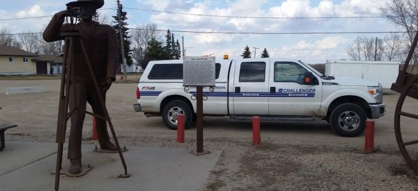
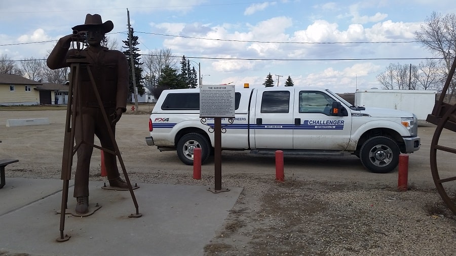
When you think surveying, many often picture a specific piece of equipment that sits on a tripod: the robotic total station. However, this is just one of the tools to gather spatial data and much of the work doesn’t actually start until the data that is collected is brought back to the office.
Advances in Global Navigation Satellite System (GNSS) antennas, receivers, and software open new possibilities for survey and mapping applications.
Land developers, planners, architects, and engineers need to know the exact positions of each element and how they relate to each other in the real world. GNSS systems give you centimetre-level accuracy.
Surveyors are usually among the first ones to set foot on a construction site and are also among the last. Land surveyors often start with an initial site survey and are called back after completion to complete the as-built drawings.
Land surveyors will analyze their own data, but also previous surveys and other historical records to establish the corners, lines, angles, elevations, and boundaries for a property.
Depending on the kind of survey being done, surveyors may also use 3D laser scanners to generate a point cloud image of the property on which a building, road, bridge, or infrastructure project is planned.
Land Surveyors may also use aerial photography and orthophotos to compare with data collected on the ground and to improve accuracy.
Surveyors choose the right equipment and methodologies for the project based on the kind of survey that is needed and regulatory process. Indeed, the profession and the technology have come a long, long way from the traditional use of chains or lengths of rope.
Within the field of surveying, there are a number of other specializations including:
- Bathymetric or Hydrographic Survey
- Building and Construction Survey
- Topographic Survey
- Mining Survey
- Oil & Gas Survey
- Quantity Survey
- Residential / Commercial Property Survey
Land surveying is also not limited to greenfield developments. For properties that are slated for redevelopment, some of the existing site plans may be outdated or will need to be verified.
After all, the built environment of a neighborhood can drastically change in just a few years. Old buildings are knocked down, new buildings are constructed, and then there are natural forces to contend with, like erosion and ground settling.
Once the survey is complete, the surveyor will prepare the documents needed to legalize the results. This is a separate process altogether and may differ depending on the regulatory standards required for that jurisdiction.
For more information or to inquire about hiring a land surveyor, contact us.