Photogrammetry vs. Conventional Land Surveying: Which is Right for Your Business?
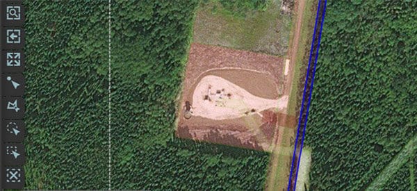
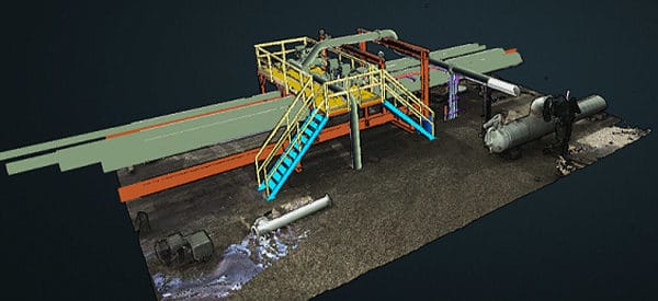
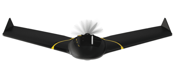
In today’s rapidly evolving landscape, advancements in technology are transforming how we approach land surveying. For decades, conventional land surveying has been the standard method for measuring land, establishing property boundaries, and supporting infrastructure projects. However, photogrammetry, a surveying technique using high-resolution imagery stereos to generate detailed 2D and 3D maps, has introduced new possibilities, […]