Challenger News

How 3D Laser Scanning Can Save You Time and Money

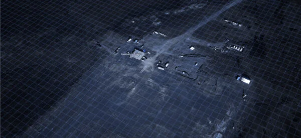
In today’s fast-paced construction, industrial, and engineering environment, the demand for accurate, efficient, and safe surveying methods has never been higher. Deadlines are tight, safety is non-negotiable, and rework is expensive. That’s where 3D laser scanning steps in—not as a trend, but as a proven tool for smarter planning and execution. Whether you’re renovating an […]

What Developers Need to Know About Topographic Surveys

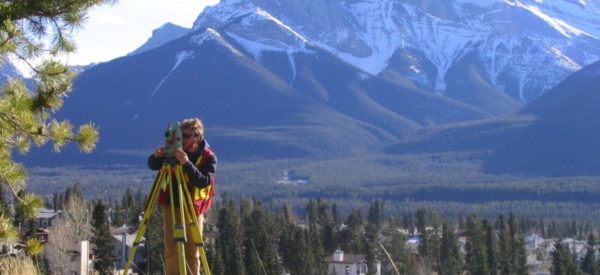
When planning a new development, whether residential, commercial, industrial, or mixed use, there is a lot riding on getting the groundwork right. One of the most critical early steps is a topographic survey. If you skip this step or get it wrong, there could be issues with grading, drainage, utility layout, earthworks, and even permitting. […]

Photogrammetry vs. Conventional Land Surveying: Which is Right for Your Business?

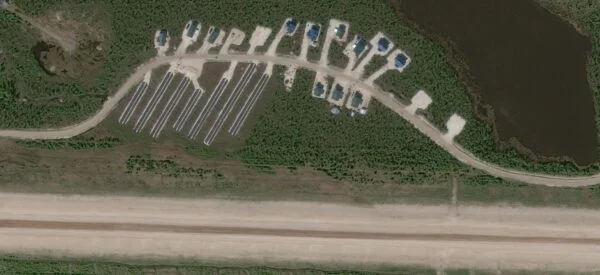
In today’s rapidly evolving landscape, advancements in technology are transforming how we approach land surveying. For decades, conventional land surveying has been the standard method for measuring land, establishing property boundaries, and supporting infrastructure projects. However, photogrammetry, a surveying technique using high-resolution imagery stereos to generate detailed 2D and 3D maps, has introduced new possibilities, […]

Supporting the Next Generation of Geomatics Professionals

At Challenger Geomatics, we believe the future of our industry lies in the hands of the next generation of Geomatics professionals; students who are not only curious and driven, but also eager to get their boots muddy, push technical boundaries, and make meaningful contributions to Canada’s land, infrastructure, and communities. That’s why we created the […]

Building Solar Farms From The Ground Up

As global energy priorities shift towards sustainability, solar farms have emerged as critical infrastructure in Canada’s transition to clean energy. The reliability of the surveying work that precedes construction are pivotal to the long-term success of these projects. At Challenger Geomatics, we’re proud to be a trusted partner in this green revolution, offering surveying expertise […]

Avoid Costly Surprises: Why Early Surveying Pays Off

Planning Your Next Project? Survey Early. When it comes to major infrastructure, energy, or industrial development, success doesn’t start with shovels in the ground — it starts with solid data. At Challenger Geomatics, we’ve seen time and again how early-stage surveying makes the difference between a smooth build and a project riddled with delays, design […]

Challenger Geomatics Acquires Target Land Surveying

Challenger Geomatics Ltd. has officially acquired Target Land Surveying Ltd., expanding its presence into British Columbia with a new office in Langley. This strategic acquisition strengthens Challenger’s Western Canadian operations and enhances its ability to serve clients with increased resources, advanced technology, and local expertise. Leadership & Team Continuity The entire Target team is staying […]

Navigating Arctic Logistics: A Journey of Surveying and Survival

It’s not every day that you see a CEO of a geomatics company trading in their office for the rugged terrain of the Arctic, but that’s exactly what Paul Burbidge, Challenger Geomatics’ CEO and President has done! In this captivating blog, he shares his firsthand experiences working in one of the most remote areas in […]