Mapping

The Power of Aerial Photogrammetry Surveys in City and Municipal Planning

In the dynamic landscape of urban development, cities face numerous challenges in ensuring sustainable growth, efficient infrastructure, and environmental stewardship. To navigate these complexities, forward-thinking municipalities are turning to innovative solutions, one of which is the utilization of photogrammetry surveys. Aerial photogrammetry surveys offer a plethora of benefits that can revolutionize city planning and management. […]

Understanding the Basics of Land Surveying

To the uninitiated, land surveying may seem extremely technical and complicated. While it has its challenges and technology has changed, the truth is that surveying as a discipline goes back thousands of years, and many of the principles have remained the same to the present day. What has changed is that the technology at our […]

Incorporating Satellite Imagery & Exclusive Geospatial Datasets for Energy Companies

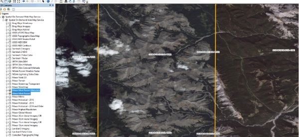
Challenger continues to be a reseller of Maxar’s extensive library of satellite imagery products and solutions. The latest product to become available is Spatial On Demand. Providing quick and easy access to professional-grade geospatial data sets, Spatial On Demand allows you to create a living picture of project sites and helps companies better manage operations. You […]

Rolling out our latest GIS solution, Challenger PlanworX

We’re proud to announce that we have completed a significant upgrade of our web mapping platform. Challenger PlanworX will replace our previous CIGS web-based GIS allowing our clients to view the most up-to-date spatial information through a shared and modern interface. The web mapping platform includes access to our database of various subscription and open-source […]