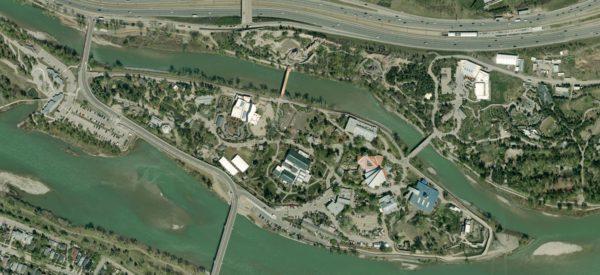
photogrammetry surveys

Photogrammetry vs. Conventional Land Surveying: Which is Right for Your Business?

In today’s rapidly evolving landscape, advancements in technology are transforming how we approach land surveying. For decades, conventional land surveying has been the standard method for measuring land, establishing property boundaries, and supporting infrastructure projects. However, photogrammetry, a surveying technique using high-resolution imagery stereos to generate detailed 2D and 3D maps, has introduced new possibilities, […]

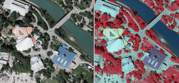
The Power of Aerial Photogrammetry Surveys in City and Municipal Planning

In the dynamic landscape of urban development, cities face numerous challenges in ensuring sustainable growth, efficient infrastructure, and environmental stewardship. To navigate these complexities, forward-thinking municipalities are turning to innovative solutions, one of which is the utilization of photogrammetry surveys. Aerial photogrammetry surveys offer a plethora of benefits that can revolutionize city planning and management. […]