Boundary Surveys
Our services are useful for establishing and re-establishing boundaries, updating cadastral data, exploration, and other geo-informational applications. Using state-of-the-art equipment, we can conduct boundary surveys for use in:
- Land claims
- Utility and access easements
- Subdivisions
- GIS asset management
- Land titles sketches
- Legal parcel descriptions
- Water and resource allocation
- Real Property Reports
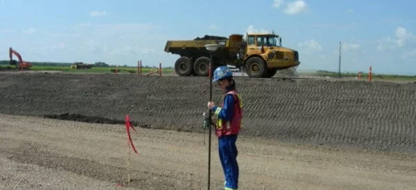
To establish real property lines, easements, and boundaries, Challenger Geomatics Ltd. uses several types of survey markers, the most common of which is the Statutory Iron Post, which are also sometimes called ’geodetic markers‘ and ’survey monuments’.
These markers, also known as survey monuments, are given a special status under Canadian law which holds that the physical location of the monument will govern the boundary regardless of minor deformations or changes to the Earth around it, or to any misrepresentation in area or measured distance between them.