As Alberta Land Surveyors, we understand the regulatory framework and the challenges our clients face. We work closely with our midstream clients to establish the highest quality standards and ensure efficient project delivery.

Midstream Services
Survey support for pipeline planning, construction, and integrity programs
Download BrochureSuperior service and precision
Serving Midstream Oil and Gas Companies for More Than Three Decades
Superior service and precision
Serving Midstream Oil and Gas Companies for More Than Three Decades
Our staff have extensive experience working with the midstream sector. We provide survey and mapping services to support all phases of pipeline projects, from early planning and route alignment to design, construction, and ongoing maintenance.
We collaborate with you and bring innovative geomatics solutions to the table to support the planning and construction of pipelines and related facilities and infrastructure.
The regulatory environment for pipelines is complex, which is why from initial planning and route selection all the way through to construction layout, we assign the right people and technology to address your unique needs.
We also support ongoing pipeline operations with survey and geomatics support for as-builts, pipeline inspections and integrity programs.
Request A Quote


Midstream Services
Route Planning
Desktop Scouting
Challenger’s 3D Scout Tool allows us to digitally map the locations of staging areas, access roads and pipelines; reducing field costs for scouting and survey.
Engineering Surveys
Our dedicated team is able to collaborate with you on engineering design and geotechnical analysis as well as provide preliminary surveys to determine viability.
Legal Surveys
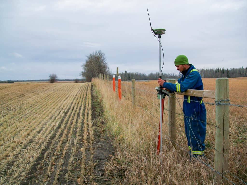
As experienced land surveyors, we work closely with you on engagement plans including locating property boundaries and owners along the corridor, easements, and right-of-way mapping.
Detailed Planning
Energy developments are complex and carefully regulated. We have access to a library of survey data as well as high-resolution satellite imagery to support you through the application process.
Construction Support
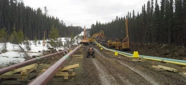
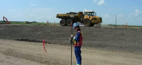
Construction Layout
Our field crews are experienced with all types of construction layout as well as scouting corridors with the latest GNSS RTK survey equipment to confirm alignment, placing markers and recording where coordinates for construction.
Control Surveys
From setting up control networks to laying out and staking locations for piles and facilities, our services can be customized to your unique needs.
Weld Mapping
Welding maps include critical data for ongoing quality control, inspection and maintenance of these pipelines including the type of weld joints, location and quality of the weld and persons responsible.
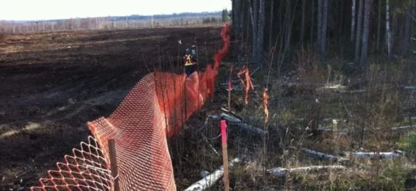
Utility Locating
To ensure the safety for all workers on site, we conduct detailed research and field assessments to locate and map the locations of any underground utilities.
Laser Scanning
Topographic Surveys
We create detailed topographic surveys and site plans using various types of survey data. We can capture a very high level of detail to support engineering and project planning.
LiDAR
LiDAR data is also useful for digital terrain and elevation models. These models can be used to calculate water flow and direction, analyze terrain stability, and assist in mapping soils.
As-Built Survey
Facilities and piping systems evolve constantly, so documenting and understanding true locations, sizes and arrangements of these pipe networks enable operators to manage their sites more efficiently.
High Precision Monitoring
Once we establish a control network, we employ state-of-the-art survey equipment that is carefully calibrated to monitor shifts in the surrounding terrain.
Pipeline Integrity
Depth of Cover
Ensuring proper pipeline depth is essential for protecting nearby communities and the environment. Challenger is experienced in collecting and formatting data to meet your reporting requirements.
Above Ground Marker Surveys
Our team will map the locations of all above ground markers and integrity dig sites and format this data into your company’s pipeline GIS or integrity system.
Water Crossing Management
Rivers and streams are of particular concern to pipeline operators. Ensuring protection of sensitive habitats requires regular monitoring of slopes, banks and other hydrographic data.
GIS Data Management
Using interactive mapping software, we organize your data into custom GIS databases. This makes easy to display historical field data, documents and other custom data that you specify.
UAV Inspection
Drones provide both speed and cost savings compared to a traditional inspection done from the ground. Our certified UAV pilots fly the site to provide imagery or LiDAR data for further evaluation.
Dig Surveys
We support our clients by surveying potential dig sites, locating any utilities or other buried pipelines, and providing detailed site plans indicating the locations relative to other topographic features.
Our Work
Challenger is proud to have supported our clients’ success for more than 35 years, on projects large and small across Alberta, British Columbia, Saskatchewan, Yukon, the Northwest Territories, and Nunavut.
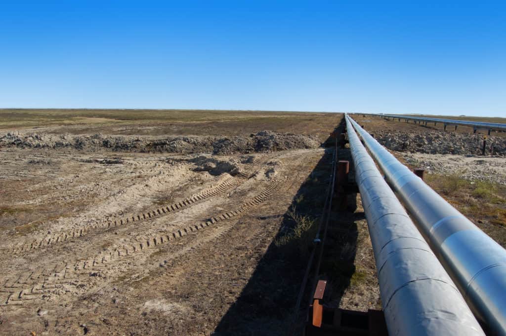
Keyera Wapiti Pipeline
Challenger provided survey support for the construction of Keyera’s 92km Wapiti multi-pipe right-of-way and various other pipeline projects in the Wapiti and Pipestone areas, near Grande Prairie.
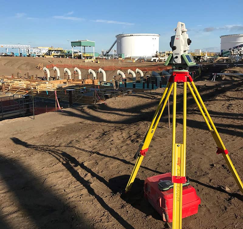
Enbridge Cheecham Terminal Expansion
Enbridge’s Cheecham Terminal, south of Fort McMurray, needed new tank, pump, and pipeline infrastructure to accommodate increased capacity associated with the Wood Buffalo Extension project. Challenger provided Enbridge with construction survey support.
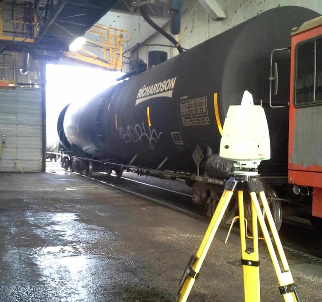
North American Terminal Operations
Construction survey support for the construction of a new rail terminal in Bruderheim, Alberta.