Satellite Imagery
Get More Value From Every Pixel
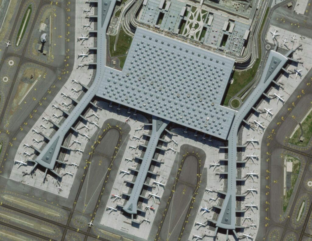
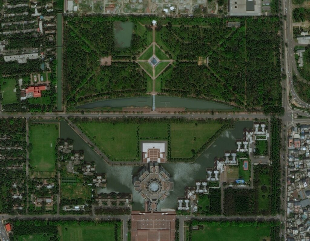
Satellite imagery provides highly detailed views of the Earth’s surface from space. With resolution as fine as 30 cm, multi-spectral imaging, and near-daily revisits, it’s a powerful tool for planning, assessment, and change detection.
As an authorized Maxar (formerly DigitalGlobe) partner since 2012, we’ve helped organizations across Canada harness high-resolution satellite imagery for mapping, monitoring, and analysis. Our solutions are faster, safer, and more cost-effective—especially in remote or large-scale environments.
Not Just Imagery, It’s Actionable Intelligence
Unlike many providers, we don’t just deliver raw satellite data. We help you interpret it, integrate it, and act on it, so you gain clear insight from every pixel.
Our Capabilities
-
High-Resolution Satellite Imagery
Access data from Maxar’s active and archived constellations—including WorldView-1, 2, 3, GeoEye-1, WorldView-4, and more.
-
Multispectral & 8-Band Imagery
Enables environmental analysis, vegetation monitoring, and coastal research.
-
3D Terrain Modeling & Elevation Data
Use stereo imagery to create detailed digital elevation models (DEMs) and surface models.
-
Orthomosaics & Change Detection
Generate multi-date mosaics to detect and visualize change over time.
-
Satellite-Derived Bathymetry (SDB)
Map coastal and shallow water environments without requiring in-water surveys.
A powerful subscription-based service, designed for satellite-based mapping projects, monitoring assets and detecting change over time. The image archive is extensive and goes back 20 years. It also includes multiple imagery layers. As a reseller, we also provide access to this Maxar service.
Industries We Serve
• Defense & National Security
• Coastal & Marine Environments
• Forestry, Agriculture & Natural Resources
• Urban Planning & Municipalities
• Infrastructure Corridor Monitoring
• Environmental Monitoring & Change Detection
Why You Should Work With Us
-
Proven Experience
Trusted by major clients like the City of Calgary, Trans Mountain, and the Royal Canadian Air Force.
-
End-to-End Solutions
From data acquisition to analysis-ready outputs, we manage the entire workflow.
-
Canadian-Based Support
We provide local expertise with access to global data solutions.
-
Integrated Accuracy
We combine satellite imagery with field data to improve accuracy and insight.
