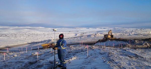
Route Mapping
Challenger employs field work and Desktop Studies (using satellite images, LiDAR, orthophotos, area mapping, GIS analysis and Challenger’s 3D Scout Tool) to select optimal routes and alignments for pipelines, roads, utilities, and other infrastructure in consultation with our clients.
Our professional land surveyors assist with mapping for both preliminary planning and approvals as well as detailed alignment and staking for construction.
Combined with our latest GIS software, we are able to offer sophisticated data and strategic guidance to ensure route selection for your road, pipeline, utilities, etc. meets all of your project objectives.