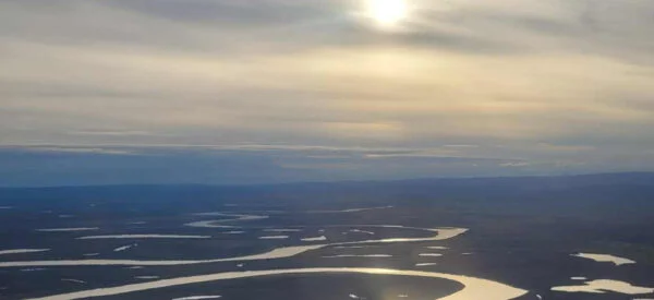
Gwich’in Land Claims Aerial Survey
Over the course of four photo acquisition dates, Challenger successfully captured 1,795 aerial photographs at a ground sampling distance (GSD) of 25 cm across the Gwich’in Land Claims Settlement Areas, covering a vast area of 55,000 square kilometers in the Northwest Territories for Natural Resources Canada (NRCan).
Key aspects of the project included:
- Imagery Acquisition: High-resolution aerial imagery was collected to ensure comprehensive coverage and detail throughout the settlement areas.
- 3D Processing and Accuracy Verification: The imagery underwent processing to create 3D stereo models, which were validated against previously surveyed ground checkpoints, achieving an accuracy of better than 1 meter.
- Orthomosaic Production: Orthomosaics were generated from the high-resolution RGBI imagery at 25 cm resolution, providing the most current and detailed visual representation of the area.
- High Water Mark Data: Challenger conducted field surveys to map high water mark data, integrating this information with the new orthophotos to enhance NRCan’s mapping resources.
- Digital Elevation Models (DEMs): Detailed DEM data was precisely collected using photogrammetric stereoscopy for three watershed areas, facilitating improved hydrological analysis and land management.
This project not only delivered high-quality imagery and mapping data but also enhanced the NRCan’s capabilities in monitoring and managing the Gwich’in Land Claims Settlement Areas.